HIKER ALERT . . .
Use of the complete Buckeye Trail is not high at any time of the year. Low use in some areas, coupled with Ohio’s climate that offers ample precipitation, moderate temperatures, and high humidity, produce a lush, rapid growth of Poison Ivy, nettles and other vegetation like berry bushes and tall flowers. While volunteer trail adopters love their trail, they are often surprised by how fast the trail can become overgrown and sometimes fall behind in the responsibilities they have accepted.
The trail is also adversely affected by logging operations, winter ice storms, and seasonal line squalls and tornadoes that put deadfall and debris on the trail. While Adopters are expected to keep up with these things, Adopters are human and can not rise immediately to that expectation. Time is often required to organize the necessary assistance.
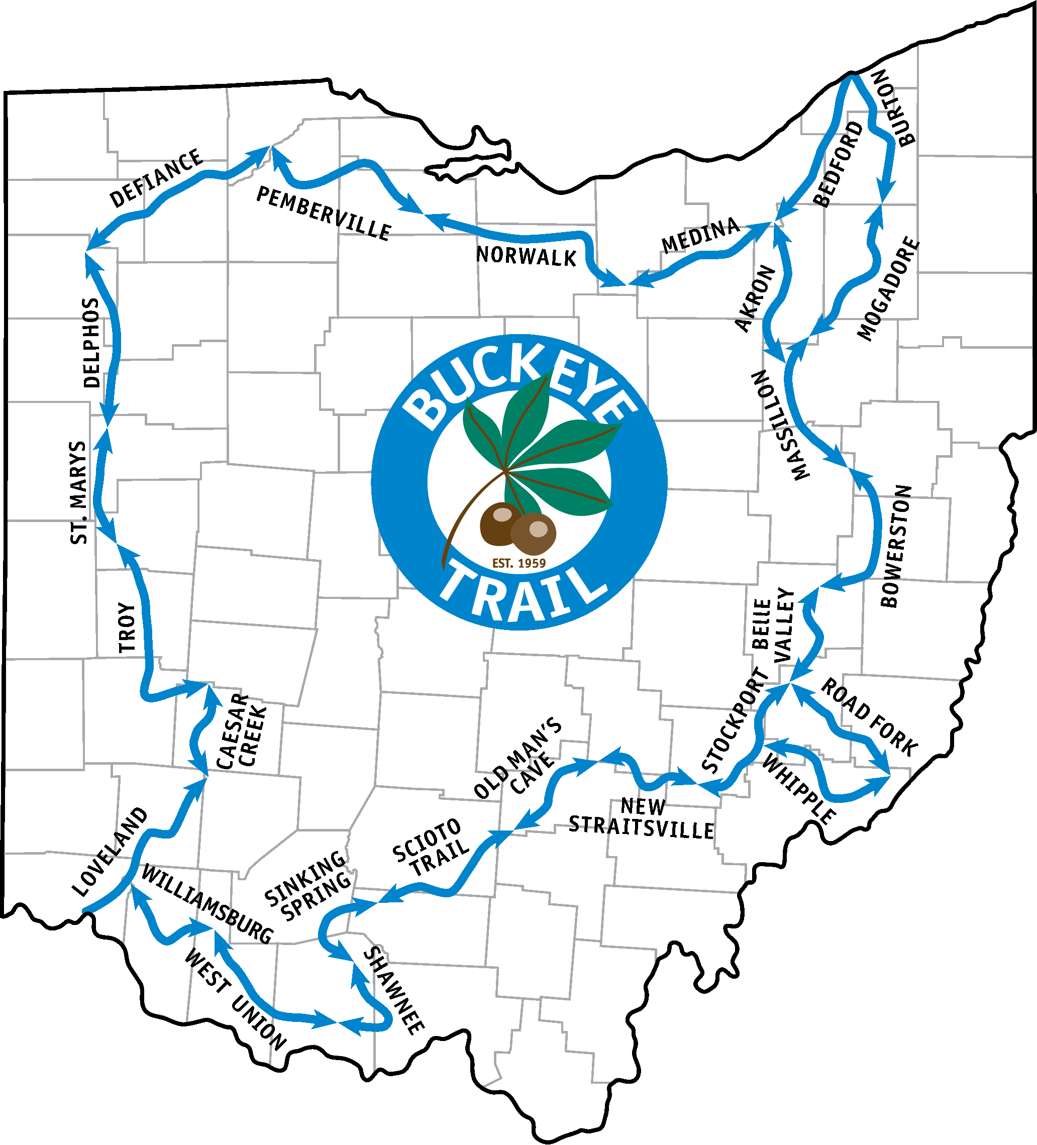
In addition to annoying vegetation, all hikers should be prepared for frequent ups and downs on the trail located along the eastern and southern sides of the state. Technically, this terrain is not hilly. Rather, it is a system of streams that have disected the Allegheny (or Appalachian) Plateau and left narrow, steep, convoluted ridges. Most of the off-road trail has been rebuilt over time to support 10% grades. However, most is not all. And this problem is most serious in Shawnee State Forest where the ridge top and the valley may be separated by 500' of elevation change or even more.
Hikers should be prepared for such adversity. Failing that degree of preparation, hikers may wish to take roads of their own selection rather than follow the trail. Such action is taken at your own risk. Often, road grades are much steeper than trail grades. And not all roads shown are open to public use. It is generally true that all roads shown on the map are taxed but not necessarily maintained by the County within which the road exists.
We in the Buckeye Trail Association love our trail and work to improve both the Buckeye Trail and the Association. If you wish to support our efforts, we would be most happy to welcome you to our ranks.
Note: All Alerts are based on the map currently in print. BTA does not support older maps. However, while not supported directly, a point is identified as a specific location. Unless the route is changed, the locations remain constant. Moreover, you may keep an old map current by downloading map updates and trail alerts as they are posted on the website.


