
Norwalk Section
- Overview
- Akron
- Bedford
- Belle Valley
- Bowerston
- Burton
- Caesar Creek
- Defiance
- Delphos
- Loveland
- Massillon
- Medina
- Mogadore
- New Straitsville
- Norwalk
- Old Man's Cave
- Pemberville
- Road Fork
- St. Marys
- Scioto Trail
- Shawnee
- Sinking Spring
- Stockport
- Troy
- West Union
- Whipple
- Williamsburg

Trail Description
Barrett's Chapel.
Connie Pond
Supervisor: Lena Dockery
•
52 Total Miles / 30 Off Road Miles (57.7%)
Map Publication Date: March 2018
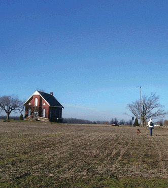
The Norwalk Section still provides a pastoral setting with many farms along the new route on the North Coast Inland Trail (NCIT). Though not filled with steep climbs or breathtaking views, this section offers an easier walk for those who want to stroll, not hike. The abundance of cross roads make it possible to 'loop' hike, returning to your start without backtracking. The Buckeye Trail itself heads primarily in an easterly direction, passing through several villages and the cities of Bellvue and Norwalk along the way. After exiting Wakeman and the NCIT just east of Wakeman, the trail follows a series of roads going east or south for another 14 miles, before finally going off-road and into Findley State Park. Here the section ends and the Medina section starts.


Trail Alerts
- There are no trail alerts at this time.
Map Updates
- (10/16/2022) Section Supervisor Dane Miles announces a reroute of the BT between Points 19 and 20 of the Norwalk Section. This reroute is because the Firelands Rails to Trails organization has extended thier all purpose trail further east along US 20 from Point 20 past Butler Rd. This now allows our trail users to travel safer and to avoid half a mile of road hiking along SR 303.
Point 19 is on the North Coast Inland Trail (NCIT) just north of the intersection of US 20 and Handford Rd. The BT now continues E past Handford Rd on the NCIT. In .5mi, turn R onto Butler Rd. Continue S on Butler Rd to Point 20. - (8/19/2021) Good news! About 1 mi of new trail along the North Coast Inland Trail has been opened just a little E of Norwalk. As a result of the change, we moved Pt 12 just a little east of where it is shown on the current map to Townsend Ave at NCIT where the new segment of the NCIT begins . The change added 1.0 mile of trail off road and removed 1.2 miles of trail on road. The new length of the Norwalk Section is 51.8 miles. The relative length of trail off road is 51.8%.
See the details of the change below. These details apply to the Norwalk map edition of March 2018.CW CCW Pt 22.3
NE29.5
W12 Townsend Ave at NCIT
Exit Townsend Ave that continues E; turn NE onto NCIT; continue E across Laylin Rd (1.0 mi).CW CCW Pt 24.3
E27.5
W13 NCIT at SR 601
Facilities (S of intersection): P, Pr. Continue E on NCIT . . .
This change reduces the length of the Norwalk section by 0.2 mi. The numbers above have been adjusted accordingly. Reduce all CW distances higher than Pt 13 by 0.2 mi. And reduce the CCW distances below Pt 12 by 02 mi.
Section Blogs
- There are no Blog posts at the present time.